
Science. Community. Conservation.
The Madeira Ocean Scientific Expedition 2026 marks the beginning of a long-term journey to strengthen marine conservation across the Madeira Archipelago.
3
islands
explored
2-28 OCTOBER
scientific
expedition
MPAs
assessment, long-term monitoring and expansion
But this expedition is about much more than scientific discovery.
It builds on decades of regional leadership in marine research and conservation, supporting Madeira’s vision of a resilient and well-managed network of Marine Protected Areas, grounded in science and aligned with international best practice. By combining cutting-edge and innovative research, collaboration and community engagement, the expedition will help ensure that conservation decisions continue to be informed by robust scientific evidence.
Throughout the month, the expedition will serve as an open platform for collaboration between research institutions, government authorities, local communities and civil society. Alongside its scientific programme, it will promote ocean literacy through educational activities, live broadcasts from the research vessel Santa Maria Manuela, community events and digital storytelling, bringing the science behind marine conservation closer to people.
The Madeira Ocean Scientific Expedition 2026 is the first of two complementary expeditions under the Madeira Ocean Programme. Together, they will provide the knowledge base needed to evaluate, strengthen and expand Madeira’s network of Marine Protected Areas, contributing to the long-term conservation of one of the North Atlantic’s most remarkable marine regions.
Scientific work begin in September with a research campaign to the Seine Seamount, carried out as part of the European Horizon Europe SEAMPHONI project led by MARE-Madeira/ARDITI.
The project aims to assess the natural values of this priority habitat, located northeast of Porto Santo, by deploying audiovisual and DNA monitoring equipment that will be retrieved after one year.
EXPEDITION METHODOLOGIES
How do scientists study the ocean
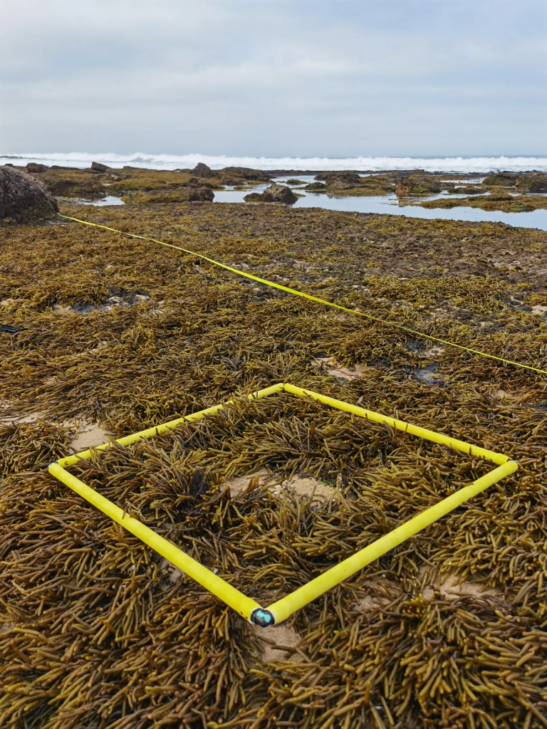
Standardized assessements to record species abundance, distribution and size across the shoreline between high and low tide. Photographs and targeted searches complement the surveys, while marine litter and non-indigenous species are also documented. Drones are used to map habitat extent, shoreline features and potential areas of degradation or litter accumulation. Temperature data is also being downloaded from EnvLoggers deployed along the rocky shore.
Focus: Rocky-shore habitats, tide pools, algae, barnacles, limpets, topshells, crabs, other invertebrates, intertidal fishes and marine litter.
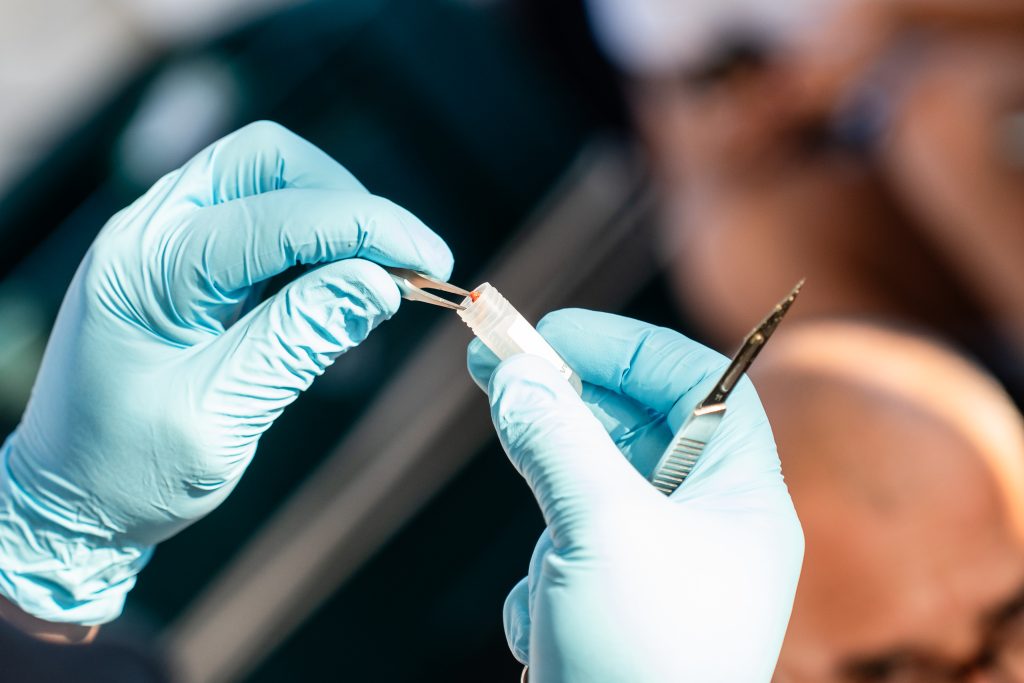
Seawater is filtered along coastal transects to capture traces of DNA released by marine organisms. This technique allows the detection of species that may not be easily detected using other methods.
Focus: Bony and cartilaginous fishes.
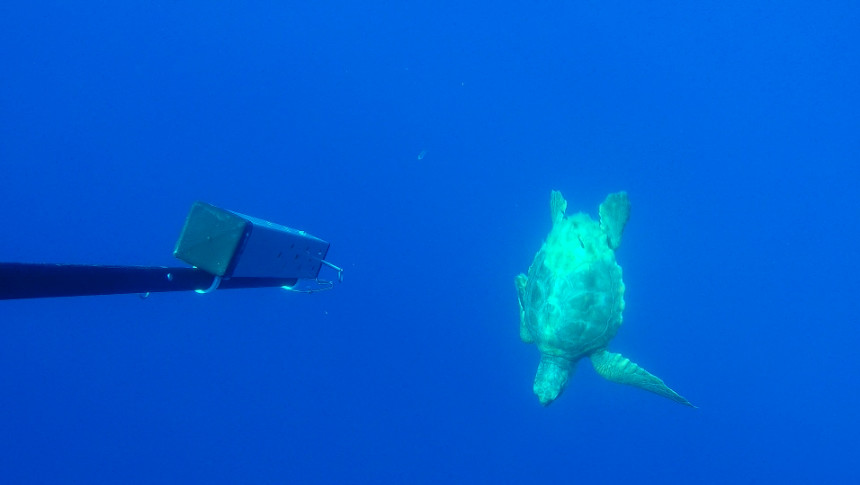
Water column mid-water marine research stations that use floating camera systems with bait that register and monitor pelagic species in the open ocean.
Focus: Commercially important fish species, sharks, large mammals – whales, dolphins -, turtles
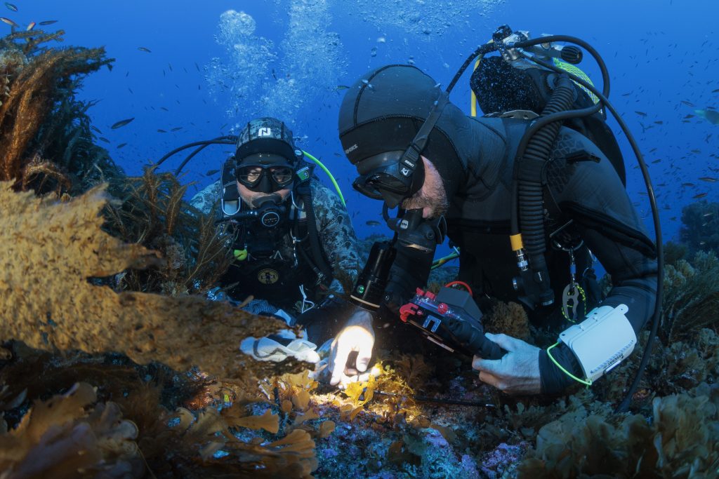
Scientific divers conduct standardized underwater transects to identify, count and estimate the size of fishes and mobile invertebrates. This data will allow estimation of abundance, biodiversity and biomass.
Focus: Marine Fauna & Flora of Madeira up to 30 metres depth.
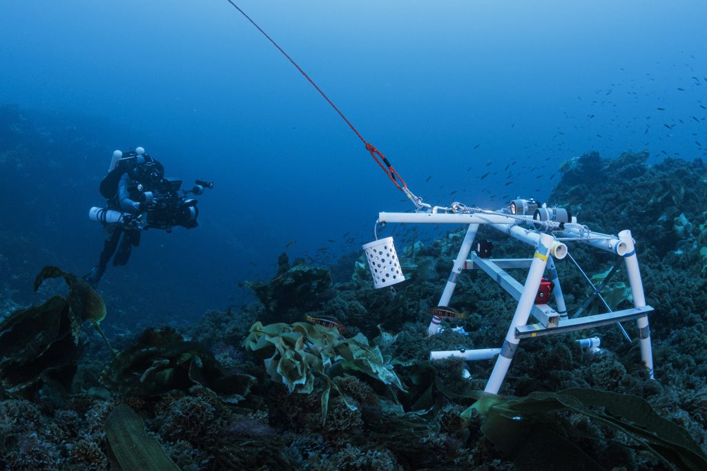
Benthic – deployed on the seafloor, these are stationary, seafloor-deployed camera stations that use bait to attract marine organisms, allowing researchers to observe and record marine life on the seafloor.
Focus: Demersal fish, sharks and rays and mobile scavenging invertebrates such as crabs and lobsters.
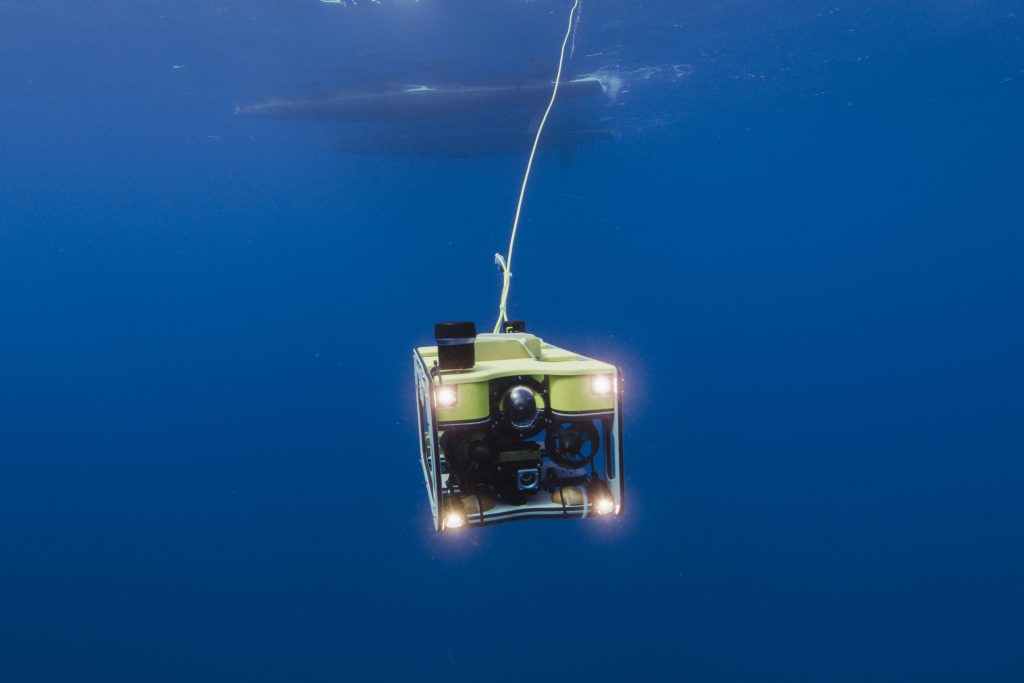
Underwater robots with cameras, sonar and environmental sensors to map and explore habitats beyond diving depths:
- ROVs are connected to the vessel and piloted in real time, collecting detailed video of selected seabed habitats.
- AUVs follow pre-programmed missions to map autonomously the seabed and conduct sonar and video transects.
- USVs operate at the sea surface, supporting high-resolution seafloor mapping and other oceanographic measurements.
Focus: Seabed mapping and benthic biodiversity at depths of ~30–200 metres (e.g., cold-water corals and sponges).
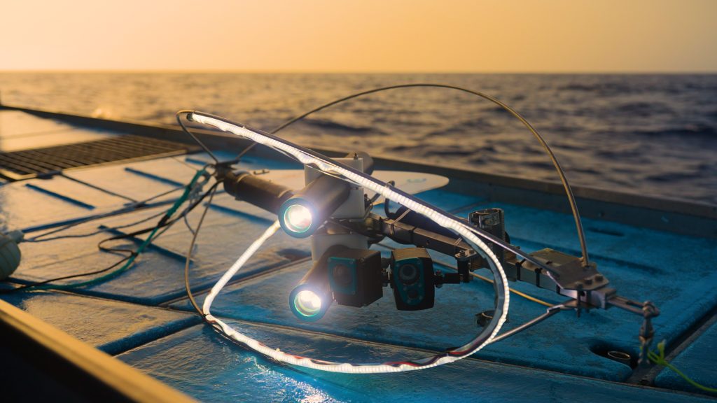
Drift-camera systems are connected to a vessel and allowed to move over the seabed with prevailing currents while recording video.
Focus: Benthic biodiversity between ~200 to 1000 metres depth.
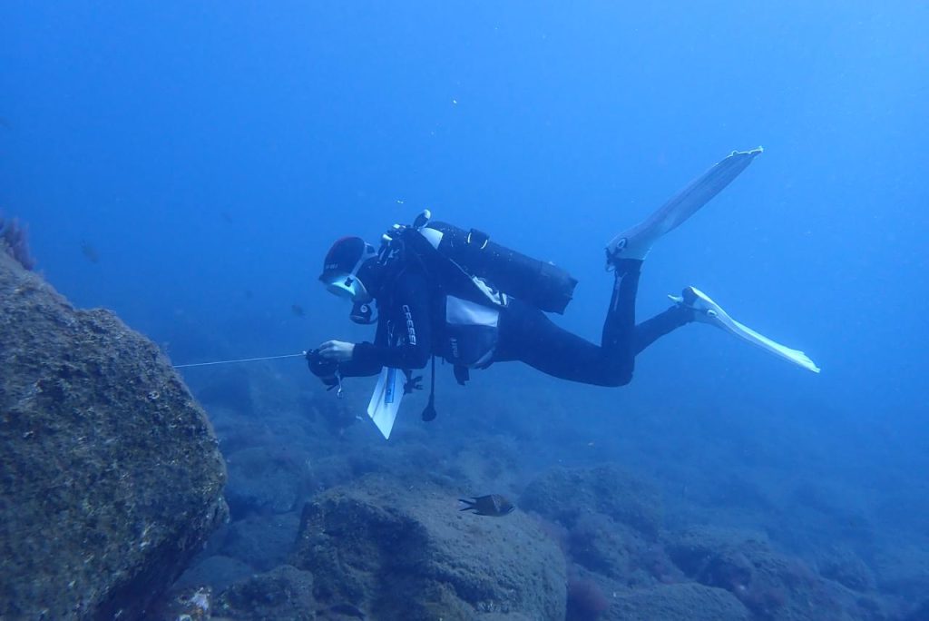
Scientific divers collect representative macroalgae and benthic invertebrates using scraping and quadrat sampling for detailed species identification.
Focus: Marine Fauna & Flora of Madeira up to 30 metres depth.
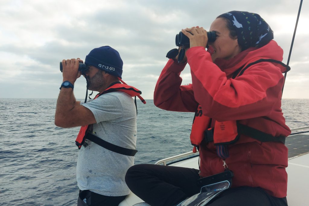
Observers conduct systematic surveys from vessels to record the presence, number, location and behaviour of seabirds, cetaceans and sea turtles. Drifting hydrophones complement visual observations by recording cetacean sounds.
Focus: Seabirds, whales, dolphins and sea turtles.
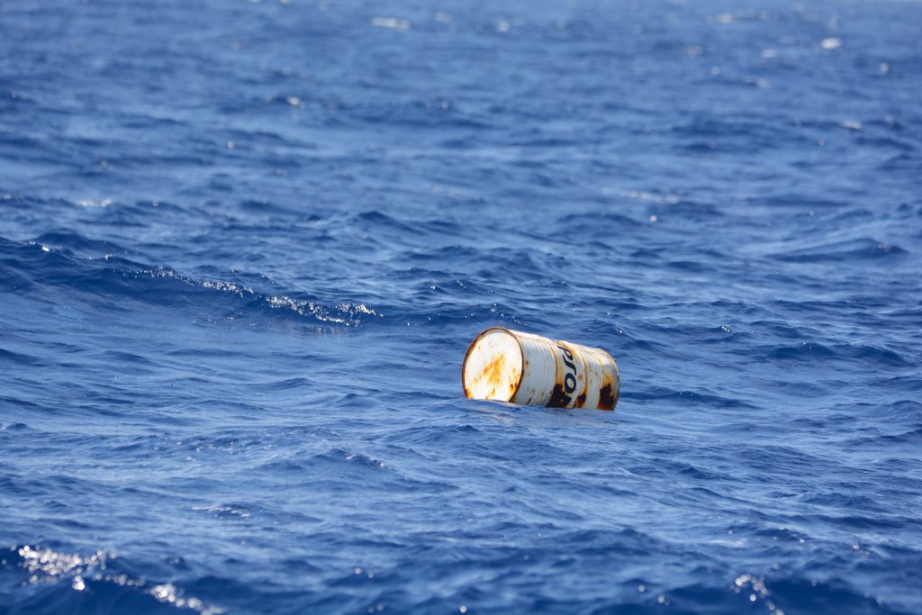
Marine litter is documented on beaches, at the sea surface and on the seabed using coastal surveys, vessel-based observations, diving, BRUVs, ROVs and drift cameras. Water and sediment samples are also collected for laboratory analysis of microplastics, heavy metals and persistent organic pollutants.
Focus: Human pressures.
MAIN PLATFORMS
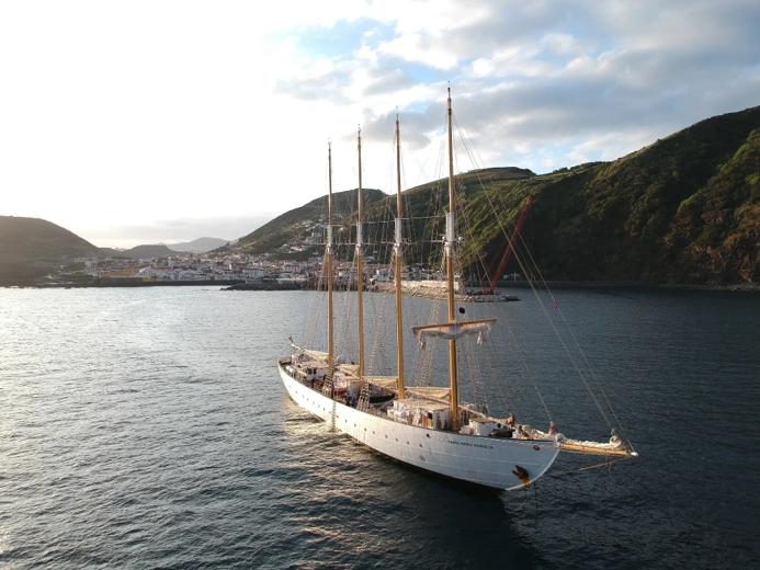
SANTA MARIA MANUELA
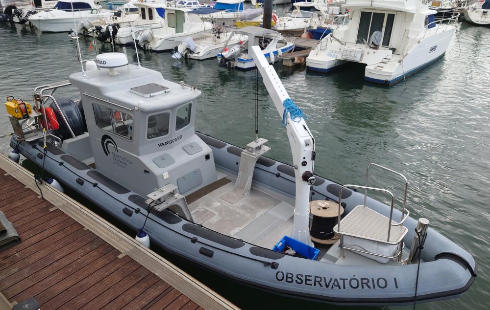
OBSERVATÓRIO I
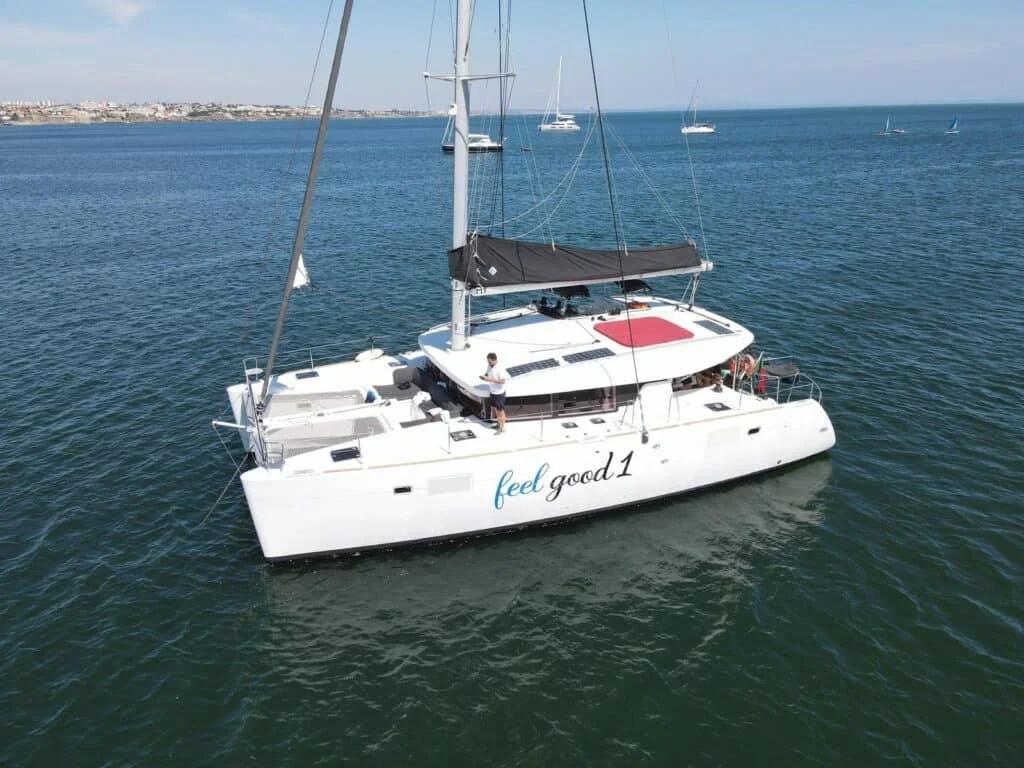
CATAMARAN FEEL GOOD I
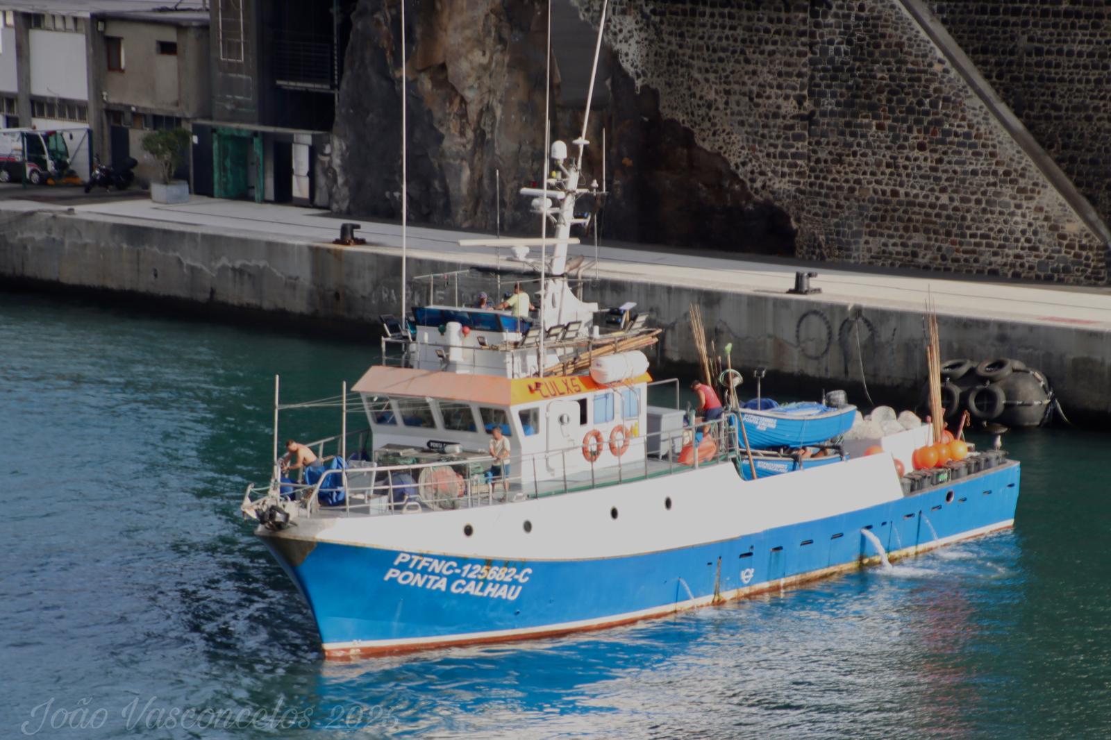
FISHING VESSEL PONTA CALHAU
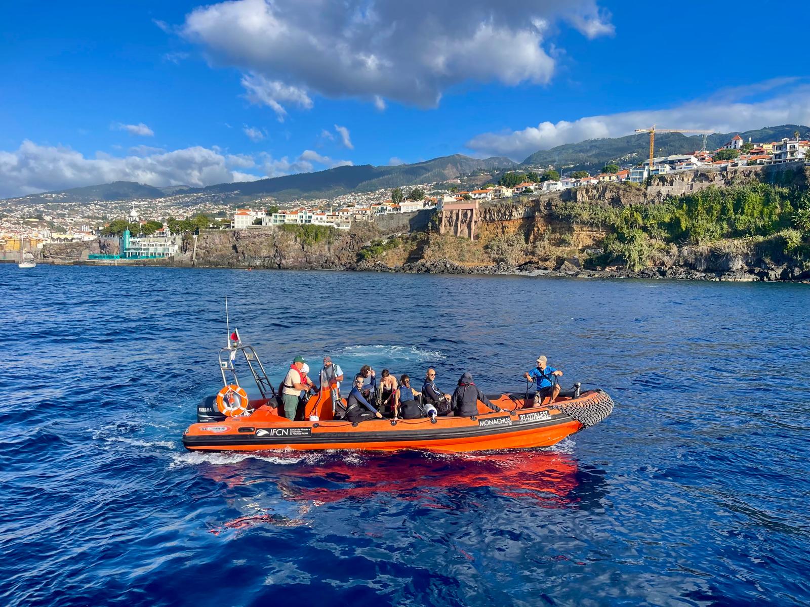
MONACHUS
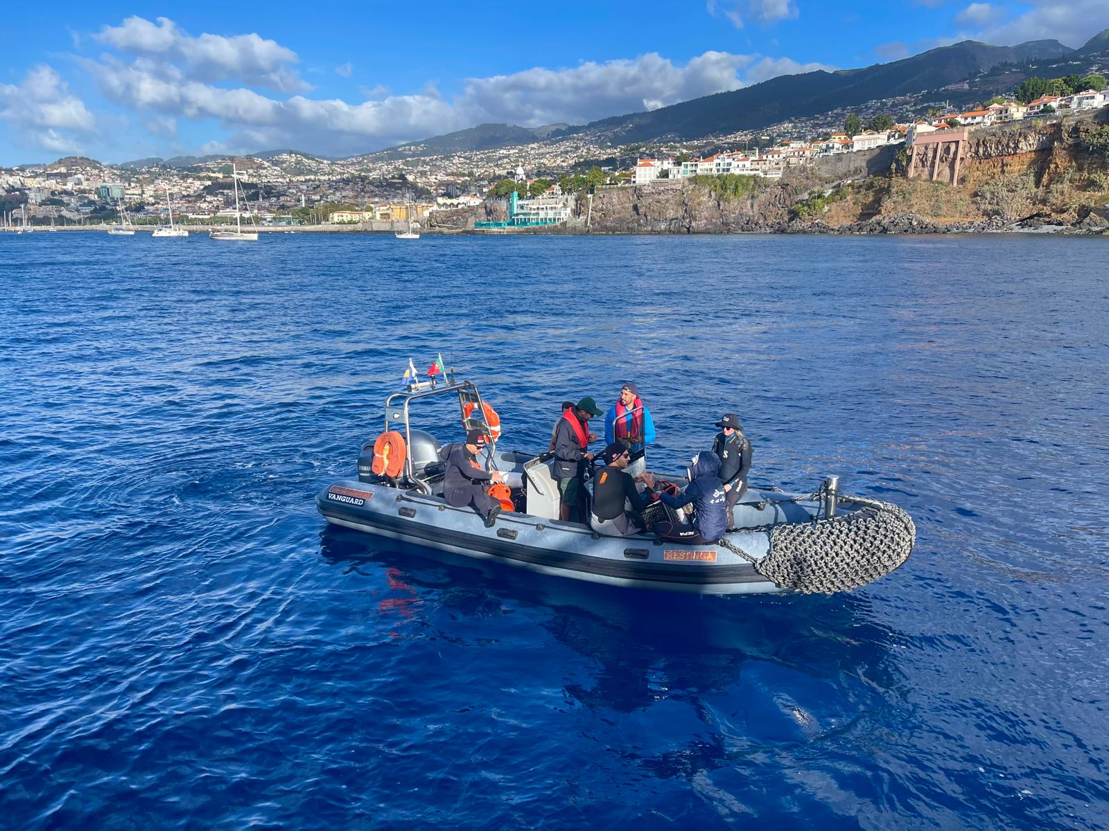
RESTINGA
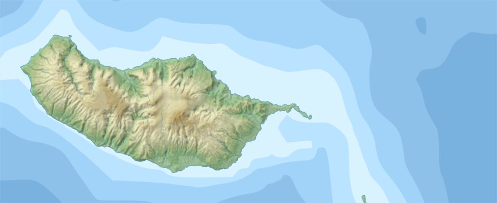
Learn more about the existing marine protected areas in Madeira archipelago
EXPEDITION PROMOTERS
The Regional Government of Madeira is the executive authority of the Autonomous Region of Madeira, responsible for the region’s public administration and policy implementation. In relation to the ocean, its work is carried out primarily through the Regional Directorate for Environment and Sea (DRAM), the Institute of Forests and Nature Conservation (IFCN), both under the Regional Secretariat for Tourism, Environment and Culture, and the Regional Directorate for Fisheries (DRP), under the Regional Secretariat for Agriculture and Fisheries.
The Institute of Forests and Nature Conservation (IFCN) is the public authority responsible for nature conservation, protected area management and the preservation of the natural heritage of the Autonomous Region of Madeira.
Nature conservation in Madeira began in the 1970s with the introduction of the first measures to protect the archipelago’s most valuable ecosystems. This marked the beginning of a long-term conservation strategy that led to the establishment and consolidation of a network of terrestrial and marine protected areas recognised for their exceptional biodiversity and ecological importance.
Today, IFCN delivers an integrated programme of conservation, monitoring, research and environmental awareness, promoting the sustainable management of habitats and species while contributing to the protection of Madeira’s marine ecosystems.
The Madeira Ocean Scientific Expedition builds on more than five decades of conservation leadership, bringing people closer to the remarkable natural heritage of Madeira’s seas while showcasing IFCN’s work in protecting the region’s Marine Protected Areas. The expedition aims to strengthen scientific knowledge, raise awareness of the importance of marine biodiversity conservation and encourage society’s active participation in safeguarding this unique natural heritage for future generations.
Learn more at https://ifcn.madeira.gov.pt/en/
ARDITI – the Regional Agency for the Development of Research, Technology and Innovation drives the development of science, technology and innovation in Madeira by attracting investment in research and development, supporting regional scientific talent and fostering collaboration between businesses, research centres and public institutions. Through the management and support of regional, national and international projects, ARDITI works across strategic fields including marine and aerial robotics, marine ecology and biology, health sciences and digital transformation.
Learn more at https://www.arditi.pt/en/
Oceano Azul Foundation is an international foundation established in 2016. Guided by the principle From the ocean’s point of view, its mission is to serve the ocean with determination and purpose by promoting concrete action and ambitious commitments that protect life on Earth.
The Foundation advances science-based conservation, supports transformative public policy and helps reshape decision-making processes to achieve a healthy, resilient and sustainable ocean.
Learn more at https://oceanoazulfoundation.org/
Three times recognised as the World’s Best Aquarium by the Tripadvisor Travellers’ Choice Awards, Oceanário de Lisboa is a world-leading public aquarium that brings the ocean to the heart of the city through the nearly 500 marine species it hosts.
Its mission is to inspire visitors to better understand the ocean and recognise their own responsibility in protecting our natural heritage by encouraging more sustainable behaviours. Oceanário de Lisboa also develops educational programmes and collaborates on scientific research and marine biodiversity conservation projects that contribute to the sustainable future of the ocean.
Learn more at https://www.oceanario.pt/en/
National Geographic Pristine Seas is an exploration, research and media initiative founded and led by National Geographic Explorer in Residence Enric Sala. Bringing together scientists, policy experts and filmmakers, Pristine Seas works to inspire the creation and effective management of Marine Protected Areas where marine life can thrive.
To date, the initiative has helped inspire the designation of 31 of the world’s largest marine reserves, protecting nearly seven million square kilometres of ocean.
Learn more at https://nationalgeographic.org/explore/programs/pristine-seas
INSTITUTIONAL PARTNERS






SCIENTIFIC PARTNERS













SUPPORT
- Hotel Vila Baleira
- Marina da Quinta do Lorde
- Marina da Calheta
- Madeira Sea Emotions
- Gabinete da Administração Pública Regional no Porto Santo (GAPS)
ABOUT THE MADEIRA OCEAN PROGRAMME
The Madeira Ocean Programme is a long-term partnership dedicated to strengthening and expanding the Marine Protected Areas network of the Autonomous Region of Madeira through science-based conservation, effective management and broad collaboration.
Launched in 2026 by the Regional Government of Madeira, Oceano Azul Foundation, ARDITI and National Geographic Pristine Seas, the programme brings together science, public policy and community engagement to support the long-term protection of Madeira’s extraordinary marine ecosystems while promoting ocean literacy, institutional capacity and a sustainable blue economy.
“Scientific exploration is one of the Madeira Ocean programme’s flagship initiatives, beginning with the 2026 Scientific Expedition and continuing through a series of scientific expeditions in 2027. Together, these efforts will provide the scientific evidence needed to guide future conservation decisions and reinforce Madeira’s leadership in marine protection.
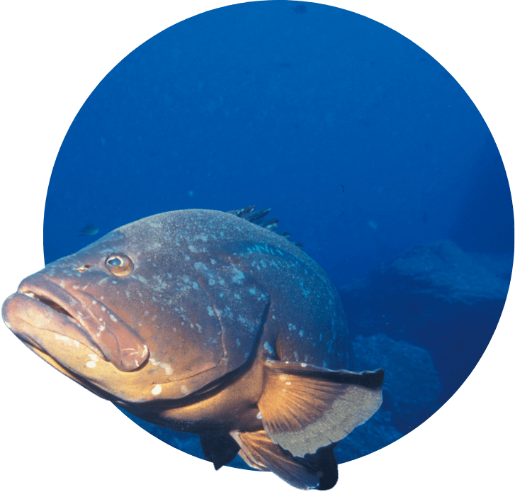
Expedition 2027
Selvagens Islands and deep sea
This expedition will focus on the Selvagens Islands and Madeira’s oceanic and deep-sea ecosystems. Using the best available technology for deep-sea exploration, the expedition will seek to address knowledge gaps related to biodiversity, Vulnerable Marine Ecosystems (VMEs), ecological connectivity, oceanographic processes, and large-scale marine conservation planning in Madeira. It will also complete the underwater visual census (UVC) surveys in the Desertas Islands that could not be carried out in 2026, to avoid disturbing the Mediterranean monk seal during its breeding season. Additional scientific activities may also be carried out to complement existing knowledge and address remaining information gaps.
LEADERSHIP
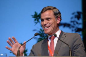
“The Madeira Ocean Program is particularly important for Madeira, which has a marine heritage of exceptional ecological, social, and economic value. Its coastal, oceanic, and deep-sea ecosystems support unique biodiversity and strategic activities for the region, including fisheries, tourism, scientific research, and other sectors of the blue economy. Contributing to the goal of having 30% of Madeira’s waters protected by 2030 also represents a legacy we will leave for future generations.”
Eduardo Jesus, Regional Secreaty-General for Tourism, Environment and Culture
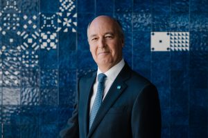
“Leading by doing by protecting 30% of its ocean until 2030, will allow Madeira to restore its nature, value the economy and promote the unique natural values of the Region. Achieves the vision of a healthy and vibrant nature as the condition for a sustainable economy.”
Emanuel Gonçalves, Chief-Scientist and and Member of the Board of Directors at Oceano Azul Foundation
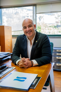
“The Madeira Ocean Program strengthens the value and protection of the ocean through scientific cooperation, funding and the training of young researchers. It is an opportunity for Madeira to embrace its natural heritage, invest in its study and international promotion, and further strengthen its blue economy based on a sustainable model.”
Rui Caldeira, President of ARDITI
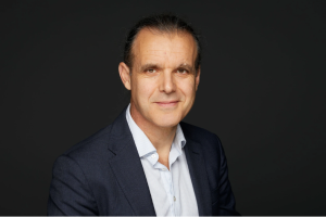
“The clock is ticking on the race to protect 30% of the ocean by 2030. By safeguarding one-third of their waters, Madeira has emerged as a decisive leader in nature protection, in Europe and worldwide. The enormous benefits of this ocean protection will have positive local, regional, and global impacts. Now is the time for the rest of Europe and the world to follow their lead.”
Enric Sala, National Geographic Explorer in Residence and Founder of Pristine Seas program